

Whilst some runners like the flat tarmac of the city streets or the soft grass of their local park run, others like something a little more challenging.
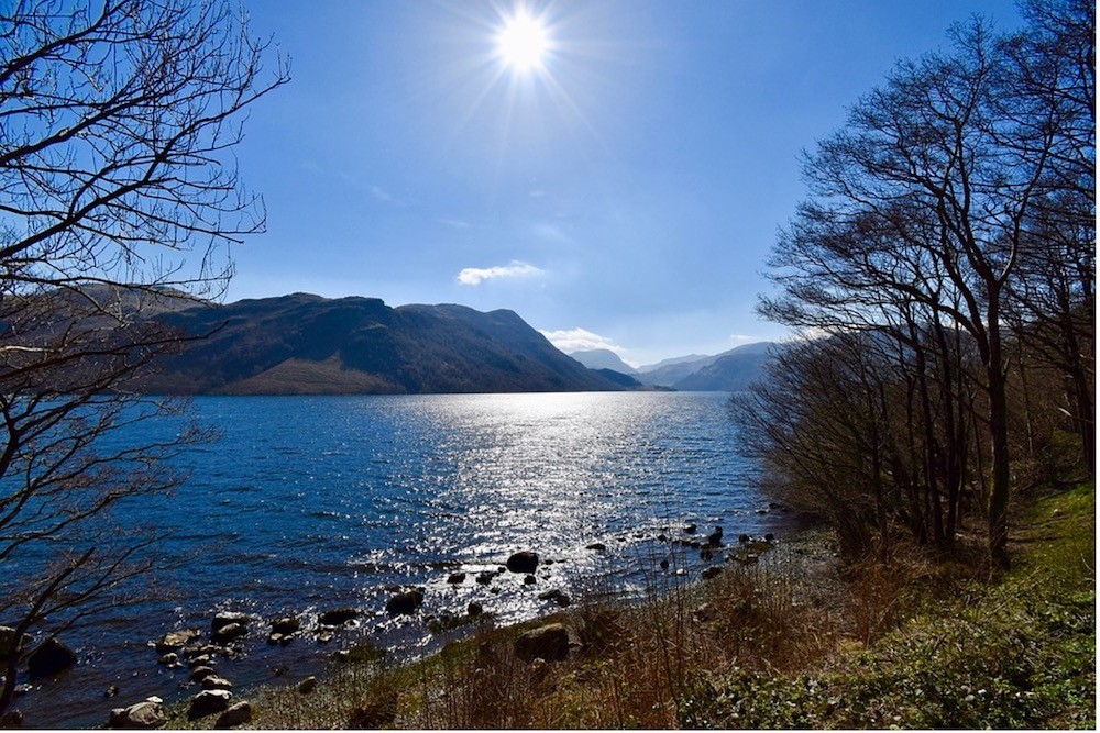
That’s where fell running, or hill running, comes in. It can provide a running experience like no other, stunning scenery, climbing gradients to the hill tops, descending slopes, and navigating tricky terrain. Luckily, the United Kingdom is so diverse that you’re never far from a good hill run. The Lake District, in the north east of England, is a perfect example.
The Lake District has 26 miles of coastline, and Gala Bingo confirms it attracts some 16.4m visitors annually to its 214 fells, hills and mountains. Whilst, surprisingly there is only one official lake (Bassenthwaite Lake), there are still plenty of tarns, meres and waters to run around. These landmarks are surrounded by some great fell running routes that span the entire Lake District, and only a handful of those 16m visitors will be pulling on their running shoes to enjoy them. However, if you’re of the mind to get out on the hills and mountains this summer, these three routes are worth investigating.
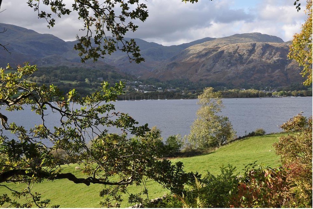
Around Ullswater – Ten Miles
The longest of our chosen routes is around Ullswater, the second-largest body of water in the Lake District. You can take a ten-mile out-and-back option along the east shore, or come back on the paved western shore, making it an 18-mile loop. Beginning at Side Farm, the route is accessed on a bridleway to the left of the farm track. The terrain is mainly trail, with some track, with a 391-metre ascent. If you want something less challenging, you could do a simple three-mile loop of Hallin Fell, which is halfway along the southern shore.
Wasdale to Honister –Ten Miles
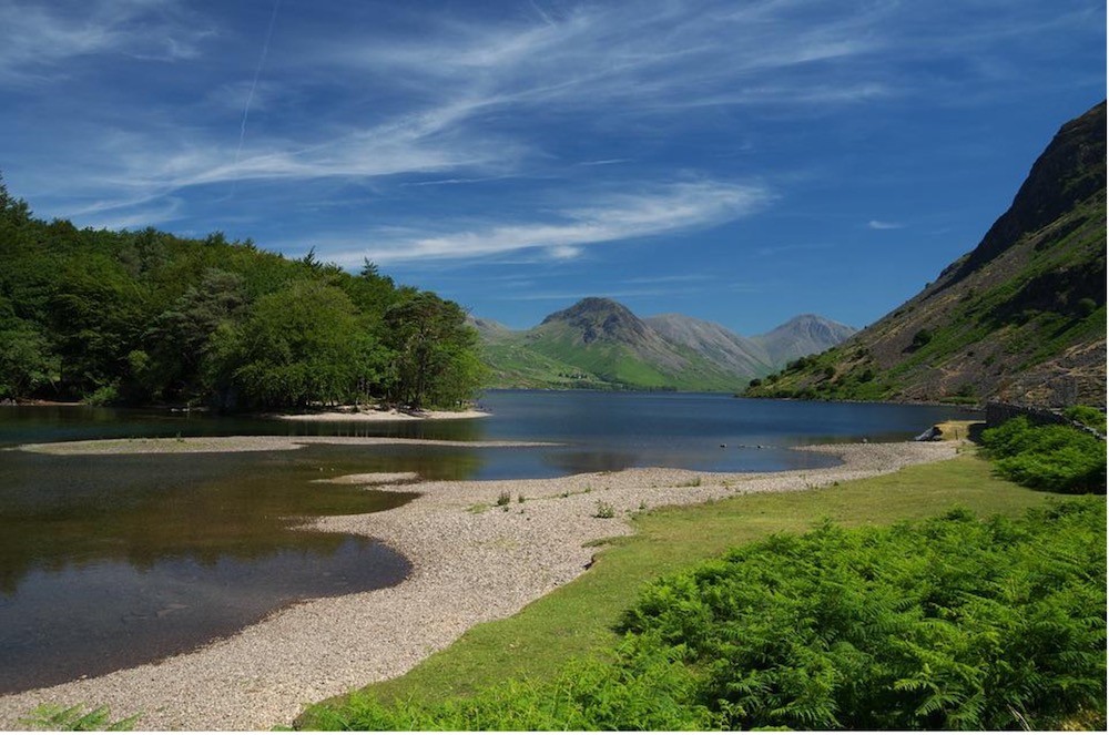
Wasdale is the traditional starting point for climbers looking to tackle Scafell Pike, and the run also starts here at Brackenclose Car Park. This is a point-to-point, so you’ll need to arrange to have a lift back. From the start, bear left onto the road and cross Lingmel Beck. Head north-west steeply up to Yewbarrow summit and then north towards Stirrup Crag. You need to take a left at Dore Head to avoid rocky terrain, then over Red Pike, Steeple, Pillar, Kirk Fell, Great Gable, Green Gable, Brandreth, and Grey Knotts. The descent is on a grassy track along a beck to a quarry track and YHA Honister. The ascent is a challenging 1,707 metres and does take you along a ridge.
Around Coniston – Eight Miles
Coniston Water is perhaps best known for the exploits of Donald Campbell, whom Lancashire Live reported lost his life trying to break speed records. You won’t be taking any undue risks on this eight-mile looped route, although it is challenging with a 714-metre climb and an exhilarating ridge path between the Old Man of Coniston and Swirl How. Starting a Walna Scar Road car park, head north towards Crowberry Haws and Stubthwaite Crag. That’s followed by a climb to the west to Low Water, then a clear path via Prison Band, which drops to Levers Water. This is a tough route section with challenging terrain, so take care. Carry on past Kennel Crag, Grey Crag and Low Water Beck before returning over a footbridge to complete the route. This route is for good weather only, as the terrain can be very challenging if the conditions are not right.


